
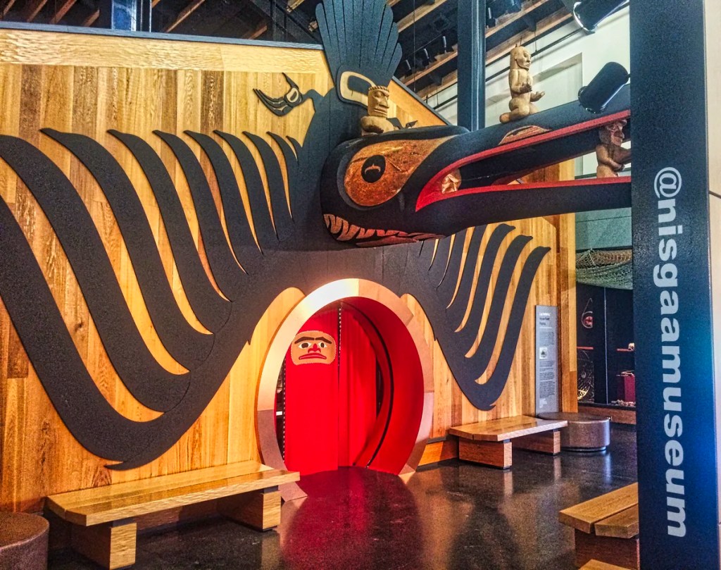
What is Unique about Bella Coola?
Do you want to get away from the hectic world of mass over-tourism? Do you want to feel like explorer Alexander MacKenzie and rediscover the Pacific Ocean? Then drive from Williams Lake to Bella Coola in the northern part of the province of British Columbia (BC), Canada. Here is a hidden gem you can enjoy: a small, quiet village and First Nation surrounded by snowy mountains and fjords.

The best part is that there are very few residents and even fewer tourists. Northern BC is home to 257,000 people in an area 78% of the size of France and 18% bigger than California!!
Here is your chance to enjoy little-known places sprinkled midst utter wilderness. On the other hand, there are few restaurants and gas stations — always keep your gas tank and your stomach fed in the far north!
Author & Photographer: George Mitchell

Our recommendations are based on our extensive experience living in Western Canada. We are avid hikers, nature lovers and photographers (all photos are my own).
All of our recommendations are top-rated by Google Maps Ratings, which is based on everyone, not just tourists. Each place recommended in our custom BC Bella Coola Map is appended with a Google Maps Rating (G0 to G5).
Fraser Canyon
Vancouver to Yale 176 km, 2:02 hrs
After staying in Vancouver for 3 weeks, we had 13 days to drive 8,072.1 km home to Ottawa. Except for the Rockies, this meant we could only spend one night per place. The result was that we could not really explore Bella Coola the way we would usually do.

Leaving Vancouver, head north along the original Trans Canada Highway 1 to Williams Lake in British Columbia (BC). This first stop in Yale only has a view of the mountains above. The Fraser River is navigable by steamer until Yale. As a result, Yale was the historic starting point for various gold rushes.

It is after this town that the road goes along the Fraser River. However, due to the narrow ledge that carries the highway, you have limited places where you can pull off for views.

When gold was discovered in the Fraser Valley in 1858, Governor James Douglas of Victoria predicted the influx of 10,000s of American prospectors that could tilt the future of BC to become part of the US. James Douglas unilaterally declared himself Governor of the British colony of all of BC (which did not yet exist). Fortunately, Queen Victoria approved his action.

The first wave was 25,000 people! Again, without the approval of Great Britain, Douglas built the 640 km long Cariboo Road in 1861 to avoid the treacherous Fraser River.

This was also the “highway” to the next gold rush in Barkerville BC: the Town that Changed the History of Canada. Today, you still drive on this road, which was replaced by the modern Highways 1 and 97.
Clinton
Vancouver to Big H’s, Clinton 383 km, 4:22 hrs,
We stopped at Cache Creek for supper, but they only had fast food choices.
Then by chance, we discovered Big H’s Halibut & Chips (G5.0). The perfectly fried fish and chips were definitely a 5! Unfortunately, this hidden gem at a roadside campground is only open Friday to Sunday evenings.
Williams Lake
Vancouver to Williams Lake 545 km, 6 hrs.
Elevation: 586 m (1923 ft)
The main industry here is lumber, and you will drive over the railway yards stacked with finished wood products as you depart for Bella Coola. Williams Lake is a centrally located crossroads to almost every corner of BC. As a result, the small city of 11,000 people hosts a lot of hotels and restaurants.
Food
Red Tomato Pies pizza G4.7 – 360D Proctor St.
Lakeview Tandoori Bistro G4.6 – 1118 Lakeview Crescent
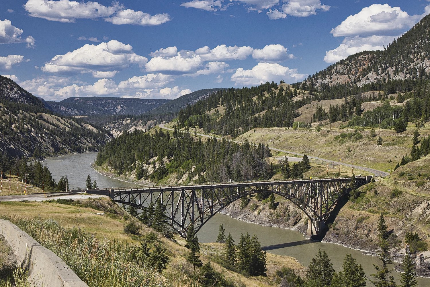
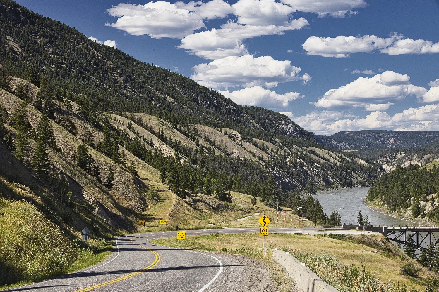
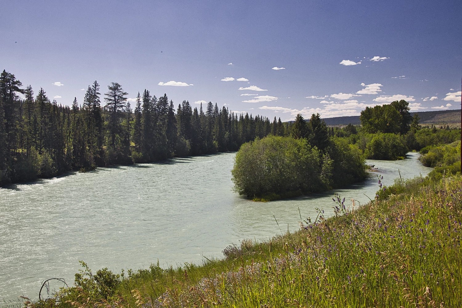
Fraser River
In Williams Lake, turn west onto Highway 20, which runs for 456 km (285 mi) to Bella Coola. We recommend driving Highway 20 westward so you can drive into the views. The first half of the road is uninspiring unless you appreciate farmland and forests. The road covers a long distance with minimal commercialization. That is what is so special about this route. On the other hand, cell service is not always available along this route.
Sheep Creek Bridge
Williams Lake to Sheep Creek Bridge 27 km, 0:20 hrs.
Just 13 km west of Williams Lake, drive on Sheep Creek Bridge across the rugged Fraser River. The steel-based bridge was built in 1954 to replace a very old wood trestle bridge from the 19th century.
This is the one sight that is better viewed going east. You will have to find your own space to pull off to get out of the car and look back at the views.
Also, notice the sparsely treed furrows of the dramatic canyon.
A side road at Riske Creek turns left onto Farwell Canyon Road and goes 21 km to Farwell Canyon, located at the confluence of the Fraser and Chilcotin Rivers. Normally, you can come here in search of bighorn sheep climbing the cliffs and hoodoos. However, there has been a rockslide damming the Chilcotin River and threatening a major ecological disaster.
Chilcotin Plateau
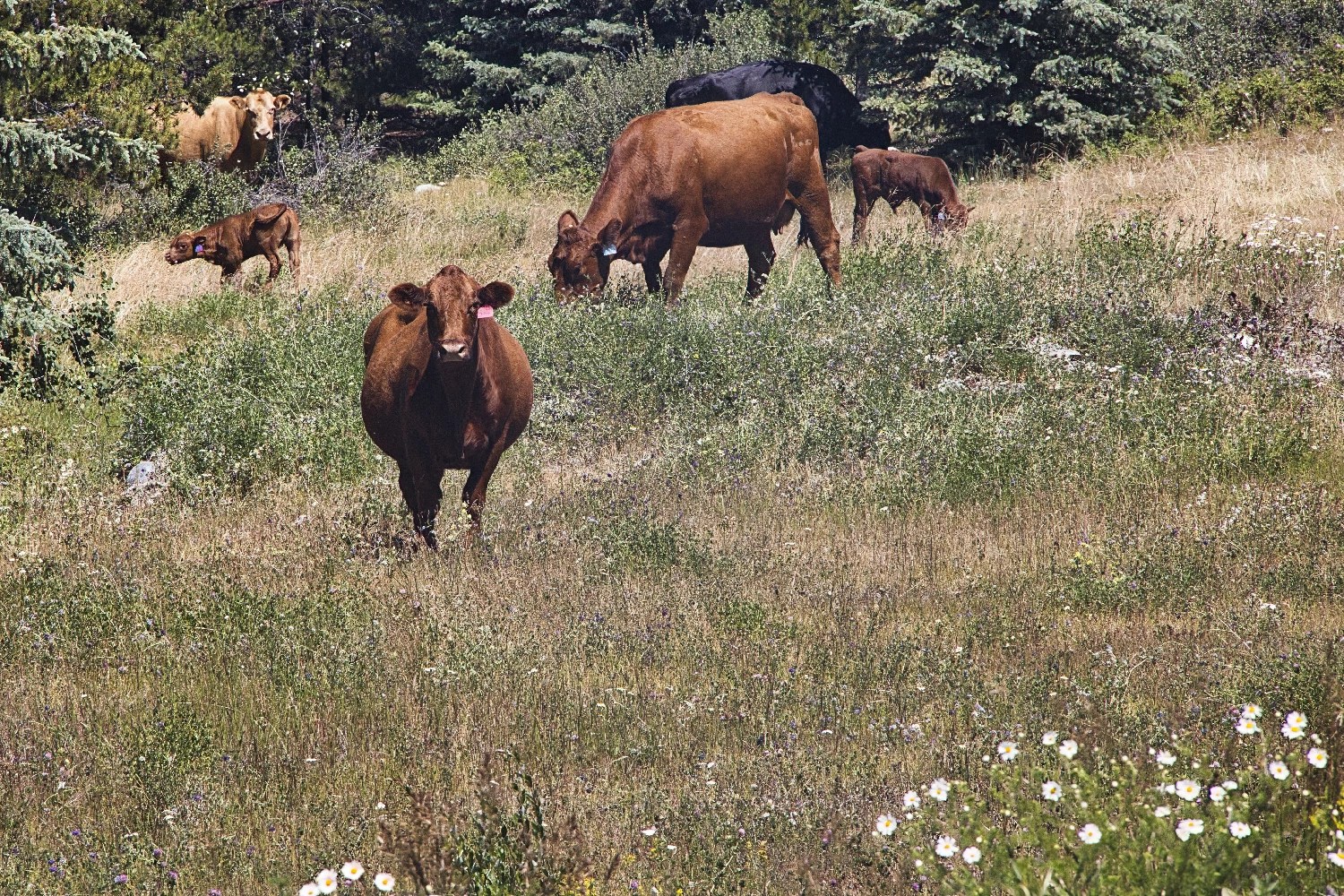
The road climbs continuously to the Chilcotin plateau. This is sparsely populated cowboy country. The proper name in the Indigenous language is Tsilhqotʼin. The vast majority of the population is First Nations people.
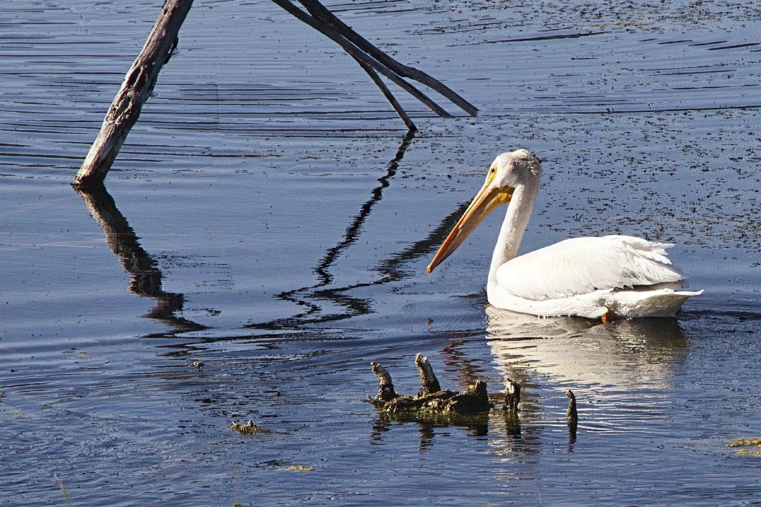
We stopped at the Becher Dam Recreation Area and saw a surprising sight at a nearby lake. Puntzi Lake has numerous White Pelicans and Trumpeter Swans, which call the lake home in the spring and summer.
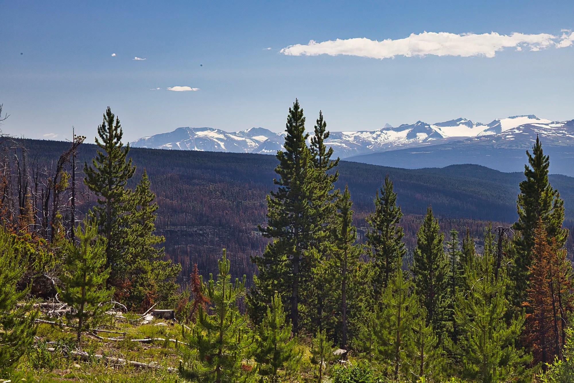
Hanceville Rest Area
Williams Lake to Hanceville Rest Area 84 km, 1:02 hrs.
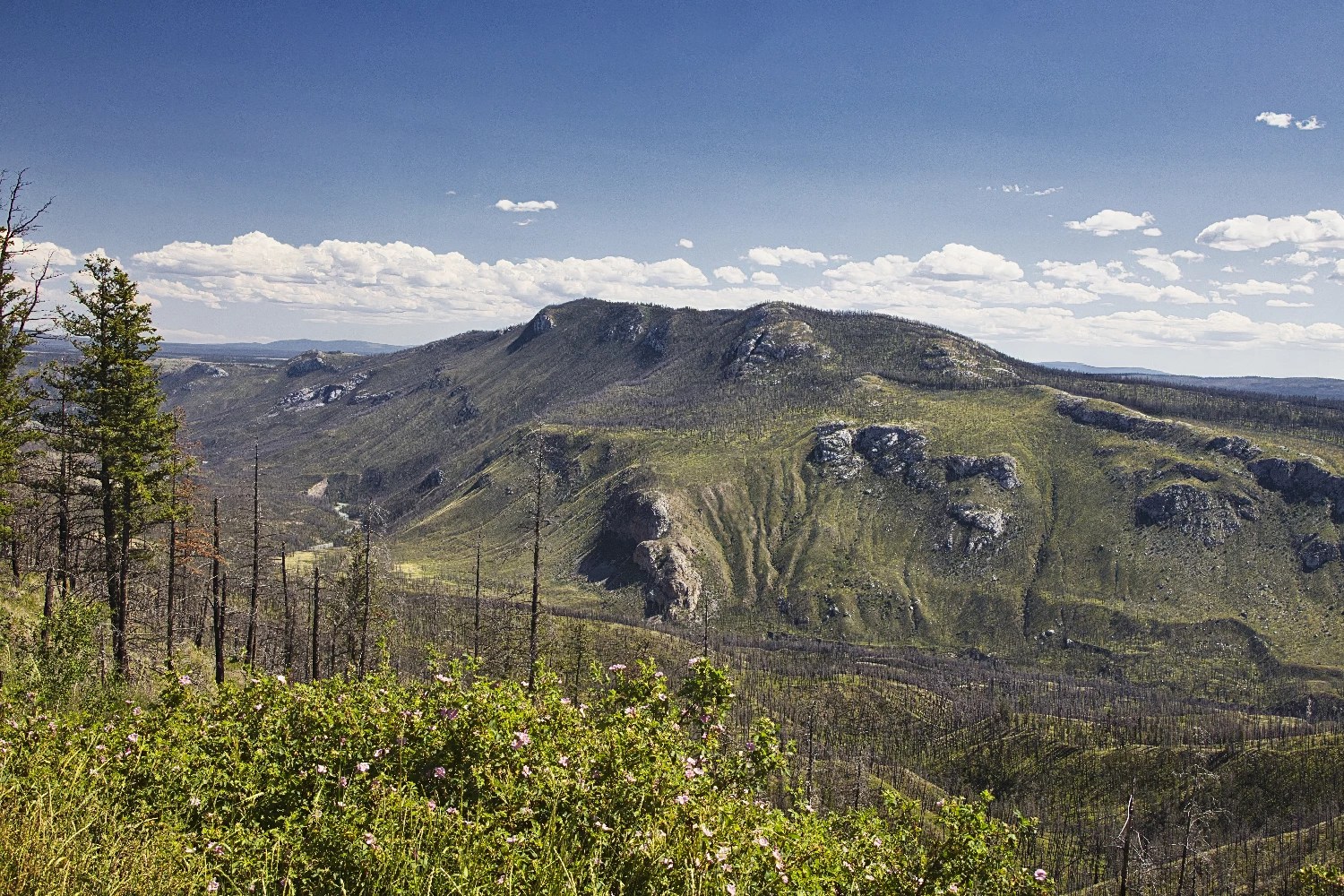
The Hanceville Rest Area (G5.0) provides a view of the Chilcotin River Valley. The highlight is an interesting-shaped mountain.
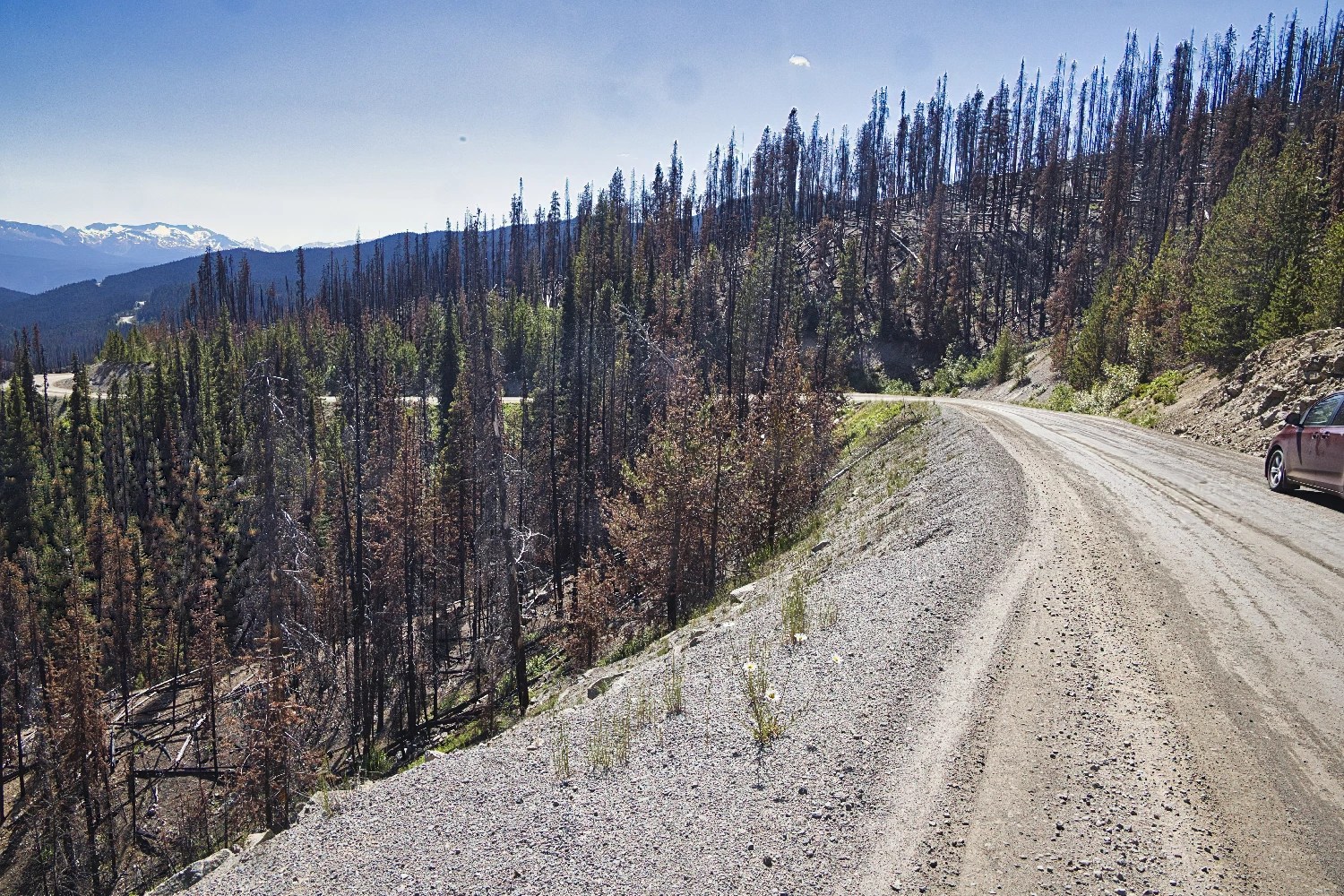
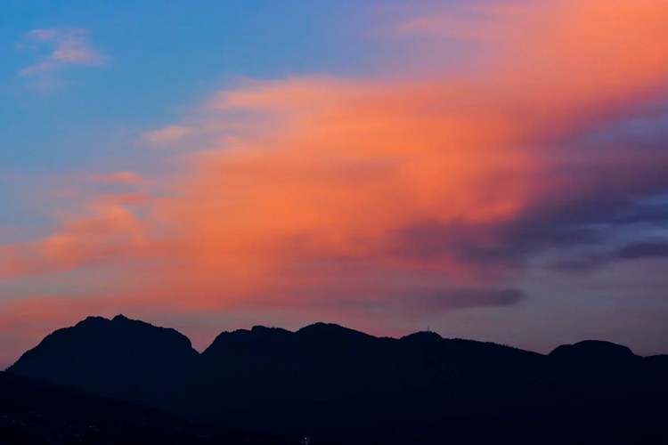
The burned out trees along the slopes are evidence of the catastrophic forest fires of 2017 and 2023 that closed Highway 20 – which is why we headed to the Yukon in 2017 and missed Bella Coola.

The 2017 Chilcotin Plateau fire was the result of ca. 20 separate fires merging to burn an area of 545,151 hectares (5,451.5 km2) – about the size of Prince Edward Island. This was the largest fire in BC’s recorded history.
Climate change has caused a lot of forest fires recently and spread smoke throughout North America. Fortunately, Canada has a lot of forest. In fact, 40% of the area of Canada is covered by trees, which comprise about 9% of the world’s forest cover.
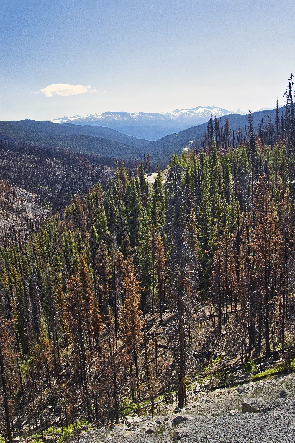
Bull Canyon
Williams Lake to Bull Canyon Campground 123 km, 1:26 hrs.
Elevation: 752 m (2467 ft)
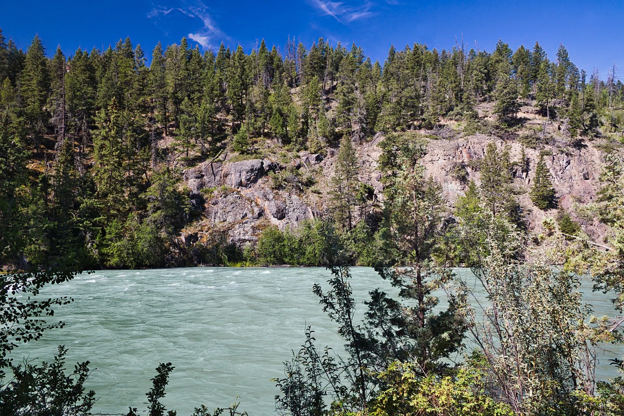
Bull Canyon offers a 20-site campground (G4.2) open from May 15th to September 15th. The 2 km Chilcotin River Interpretive Trail leads to protected archaeological sites.
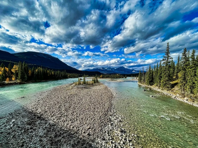
The peaceful canyon is located along the glacial grey-green Chilcotin River,
The best views of the Chilcotin River are actually from Highway 20 just west of the campground road. Once again it is a make your own pull off situation.
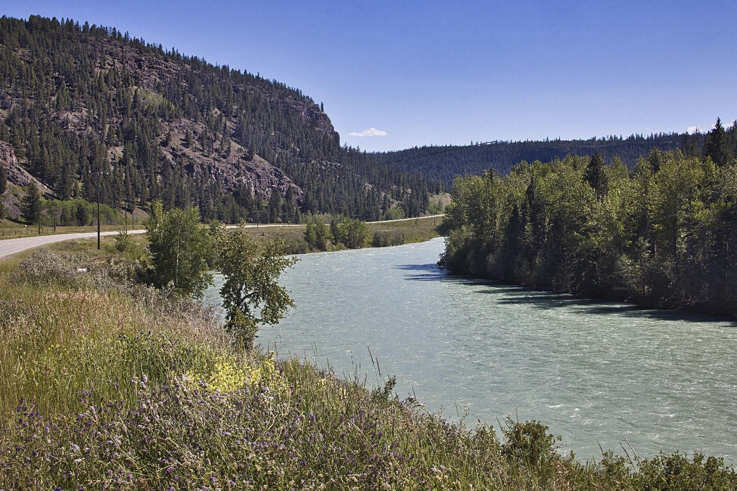
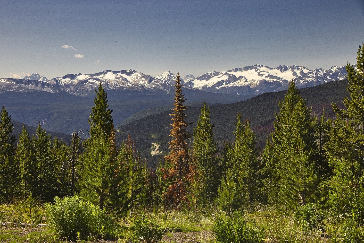
Tatla Lake Viewpoint
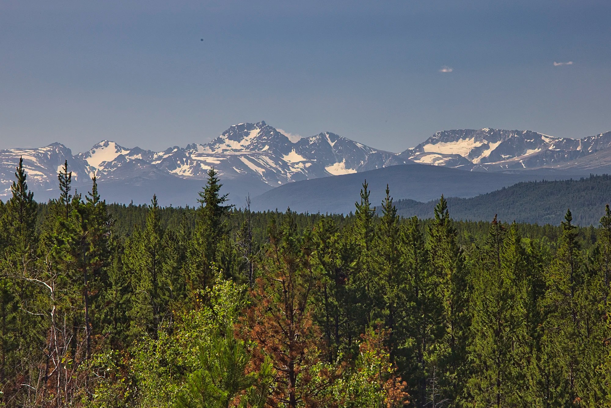
We pulled off at a signpost to an unnamed viewpoint near Tatla Lake (the town). Always stop at these pull-offs. Suddenly we were blown away by glacier and snow-capped mountains.
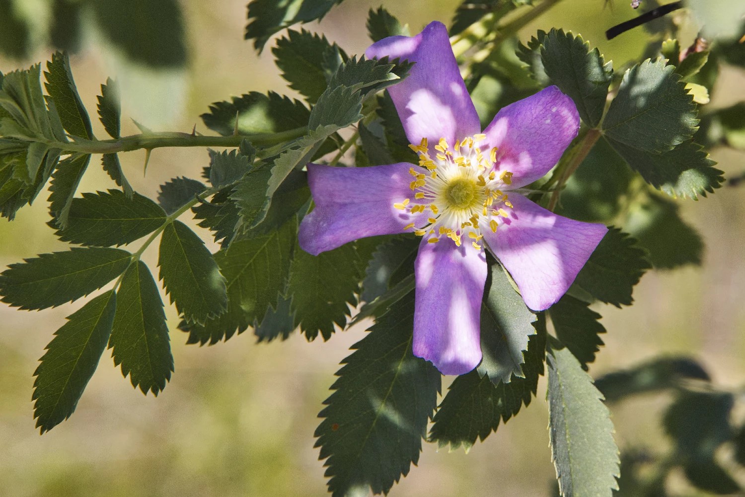
Take time to notice the flowers and trees. I found this unusual flower called Woods’ Rose.
Tatla Lake Recreation Site
Williams Lake to Tatla Lake Recreation Site 214 km, 2:31 hrs.
Tatla Lake Recreation Site (G4.2) is a great place for a picnic or camping.
Tatla Lake, the town
Elevation: 922 m (3025 ft)
Restaurant: Graham Inn G4.6
We stopped at the town of Tatla Lake, which had views of snowy mountains.
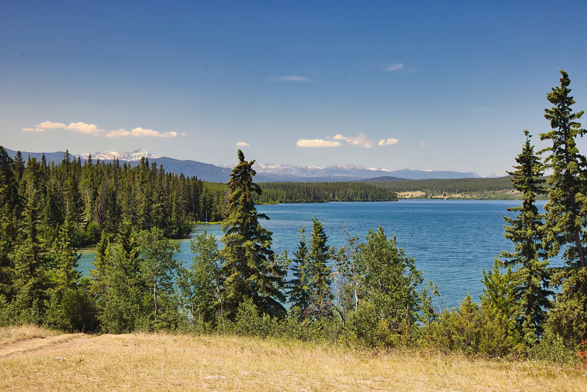
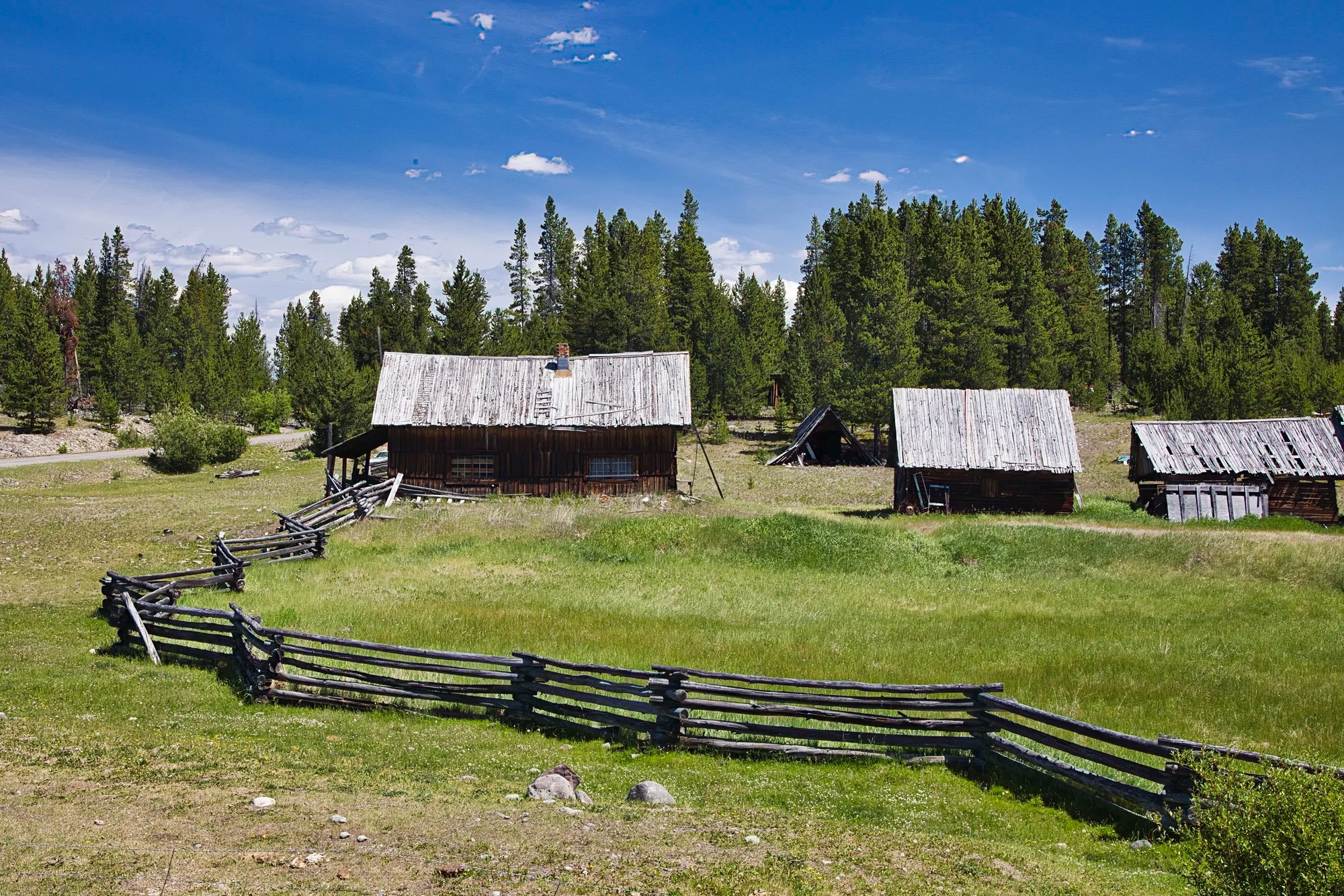
Further on is Anahim Lake, the town. It is home to the Carrier First Nation and a gateway to Tweedsmuir Provincial Park. It is known for excellent fishing, hiking, and wilderness.
Cowboy Country
We loved these unusual staggered fences made of rough-hewn wood.
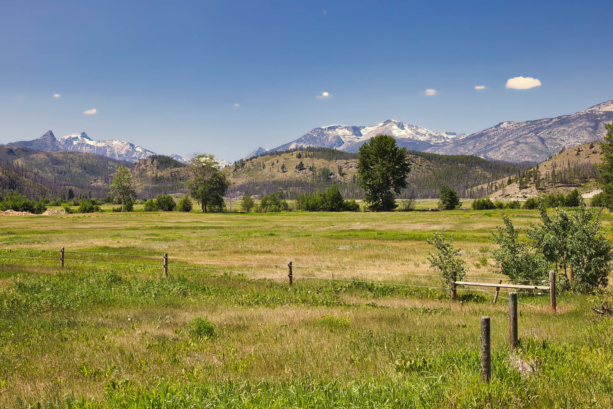
The cleared farmland allowed us wide open views of the distant mountains.
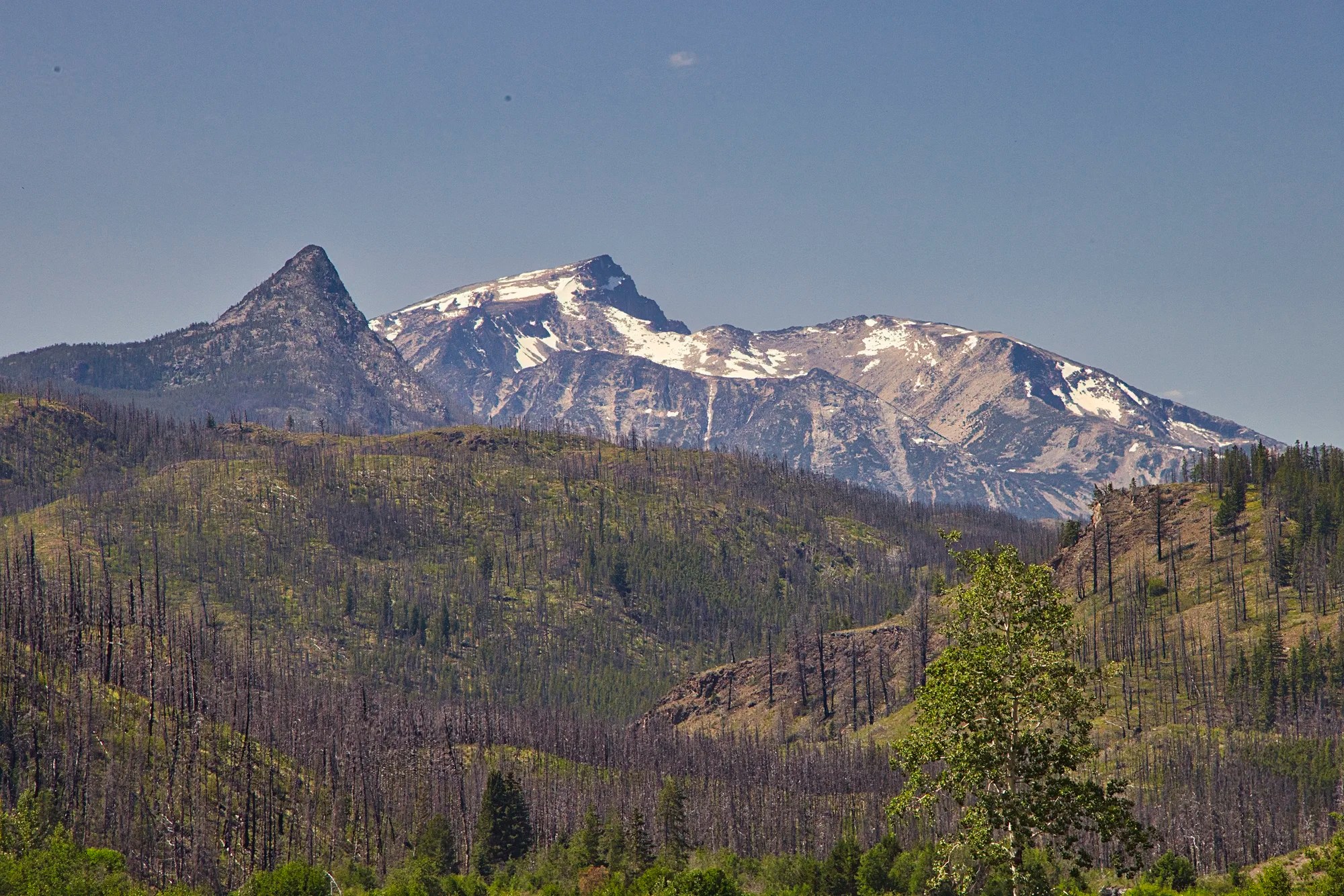
This is a 240 mm zoom view of the mountain on left side of previous photo. Once again note the evidence of the major forest fire.
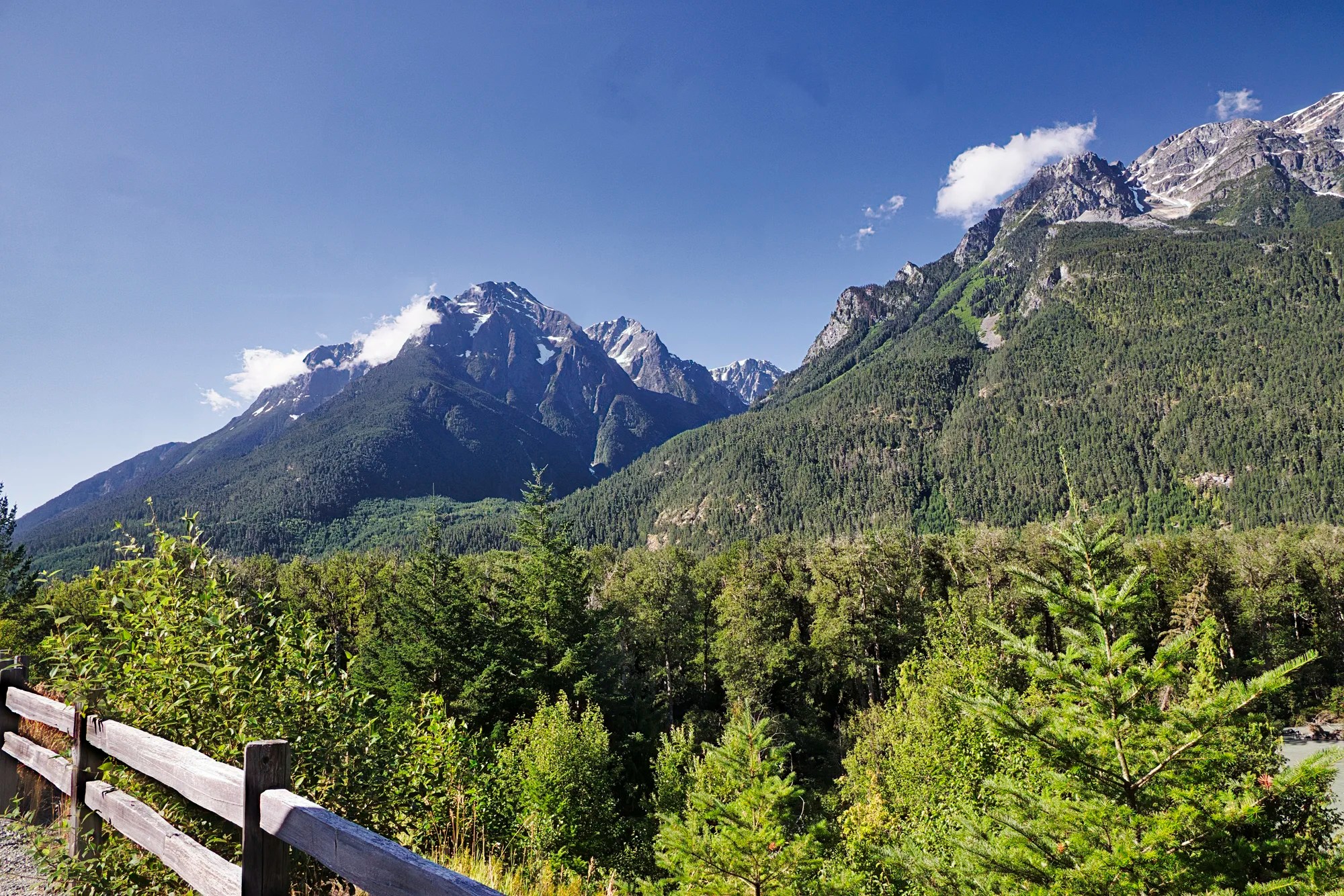
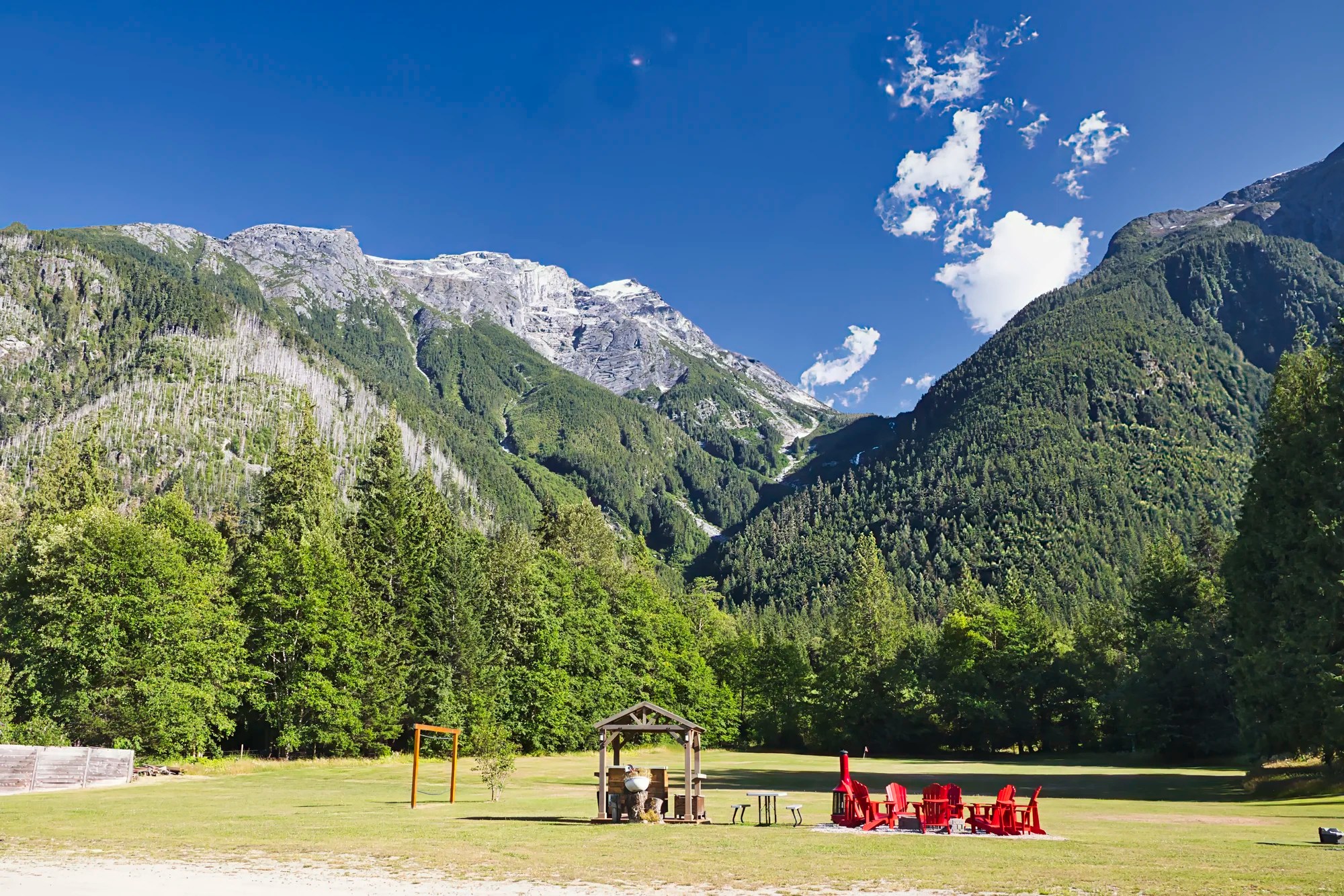
Heckman Pass Summit
Williams Lake to Heckman Pass Summit 360 km, 4:13 hrs.
Elevation: 1515 m (5,000 ft)
Heckman Pass Summit was a major viewpoint before descending into the coastal mountain range and Bella Coola Valley.

Check out the wildflowers at the summit. Indian Paintbrush is a very common flower in subalpine and alpine areas, as well as open sunny areas along roads. Ironically, this plant was used by Native Americans as both a love charm in food and as a poison used against their enemies. It also aids the immune response. These plants were crushed and put on open wounds or other skin conditions to promote healing.
It looks so tranquil now, but you are about to drive one of the most dangerous roads in North America. I did not find it that bad, and going uphill on the way back did not seem dangerous at all.

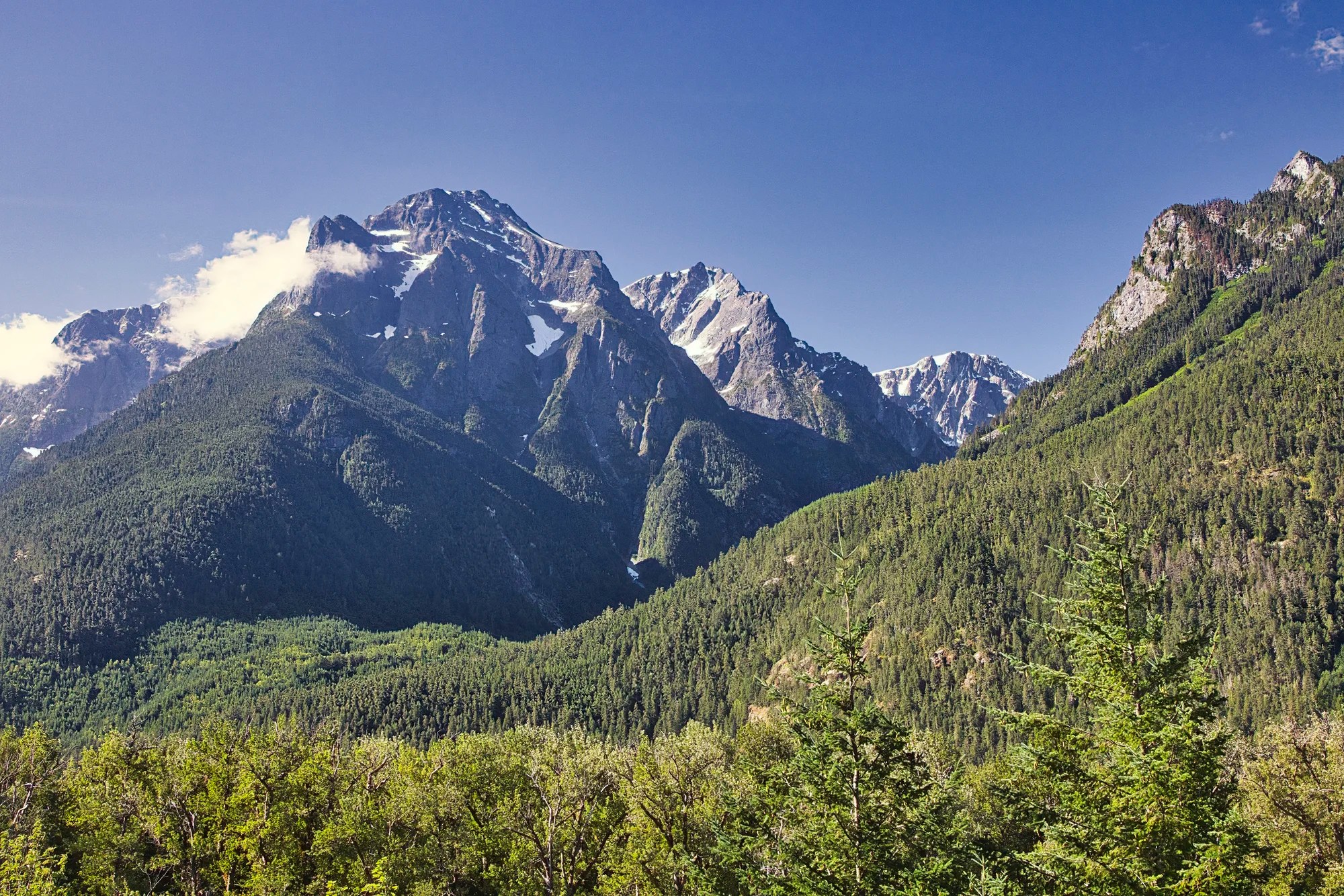
This is a 150 mm zoom photo of the mountain view of the previous picture.

From this pass, “The Big Hill” is 76 km (47 miles) long downhill to the Bella Coola Valley. It took about 1.5 hrs. to drive. The road from Anahim Lake to Bella Coola was only completed in 1953. The government refused to construct a highway, so the local citizens built it. Twice, a bulldozer went down the hill – it was winched back up.
Suddenly we feel like we were transported to a remote pass clinging on the edge of a steep sided mountain in the Andes. The hill drops 4,020 feet in 19.4 km, on gradients between 10% and 18%. But the scary part is that the road has sheer drop-offs with no guardrails.
Then there are spots where the road is eroded at the edge. It felt like it is only a one lane road but as the photo shows there are two lanes. Amazingly there was hardly any traffic. We had the road to ourselves!
Bear View
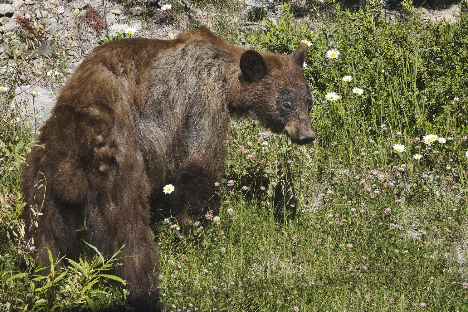
We spent over half an hour following a bear, who seemed rather thin, foraging along the road.
Stupendous View
Williams Lake to Stupendous View 397 km, 4:45 hrs.
When we saw a sign for Stupendous View (G5.0), we thought the BC Government was just stressing how beautiful it was.
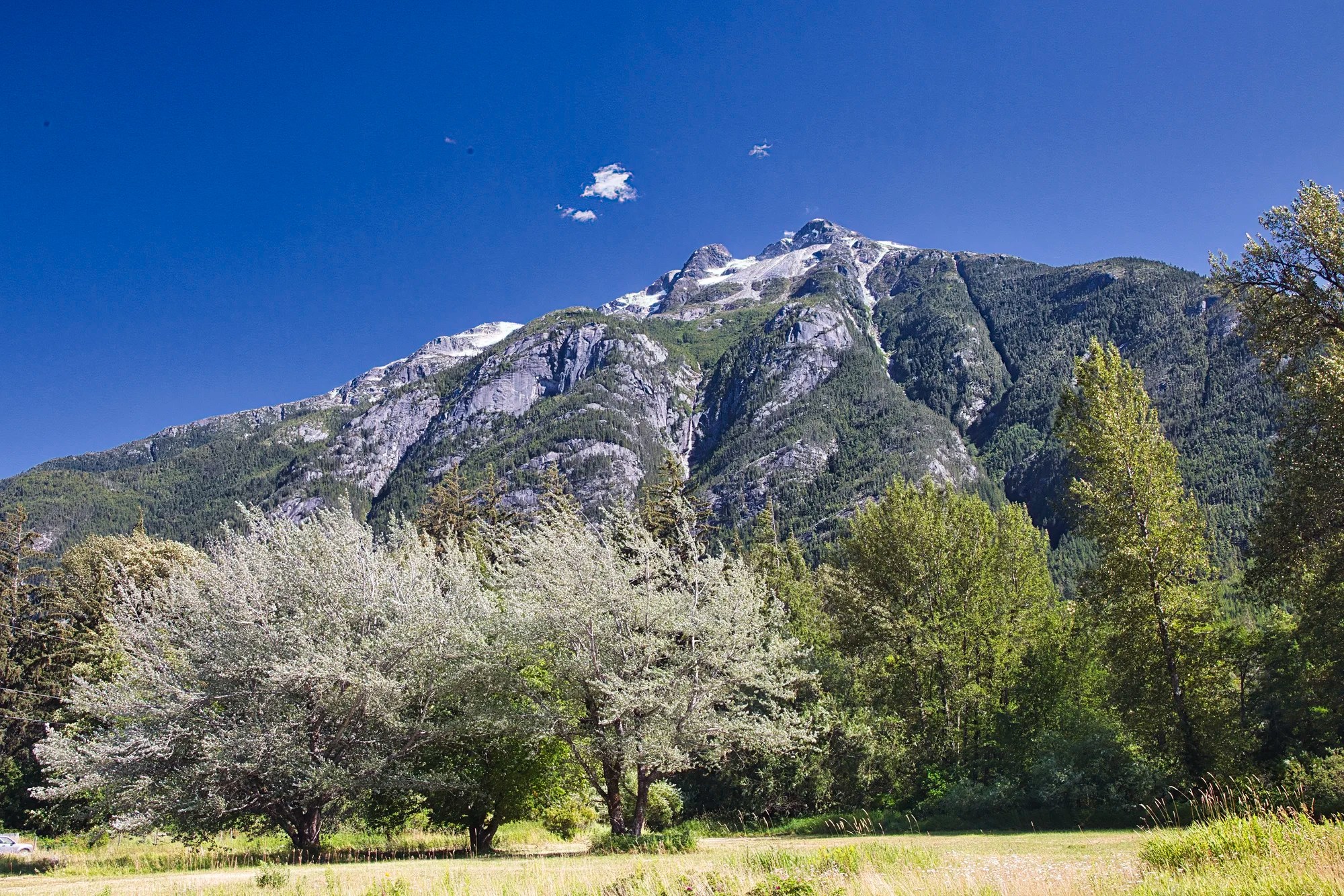
But this is a viewpoint for Mt. Stupendous rising 2,540 m (8,333 ft). It was named by Sir Alexander Mackenzie (1793), a Scottish explorer and North West Company fur trader – the first European to cross North America. The Mackenzie River is named after him.
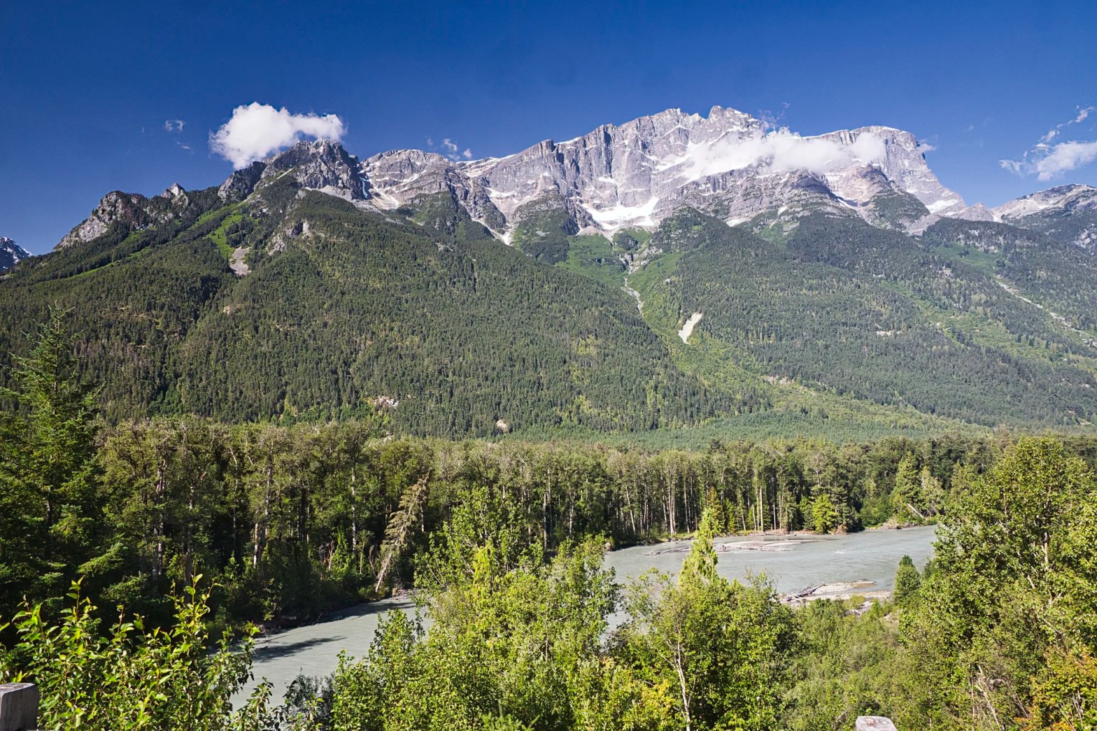
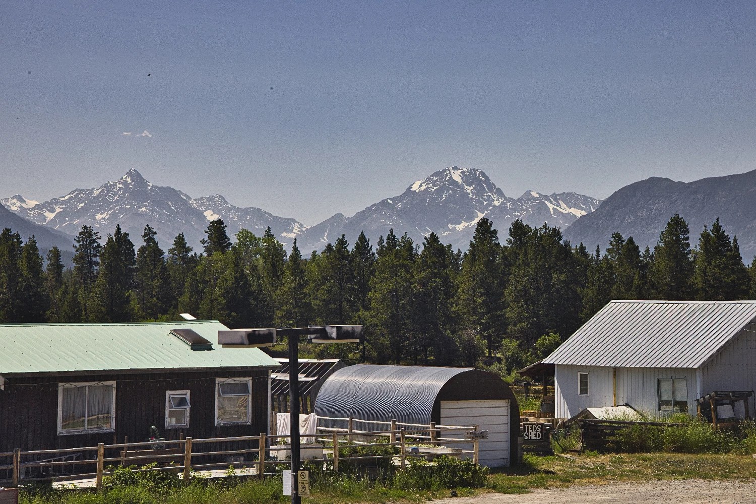
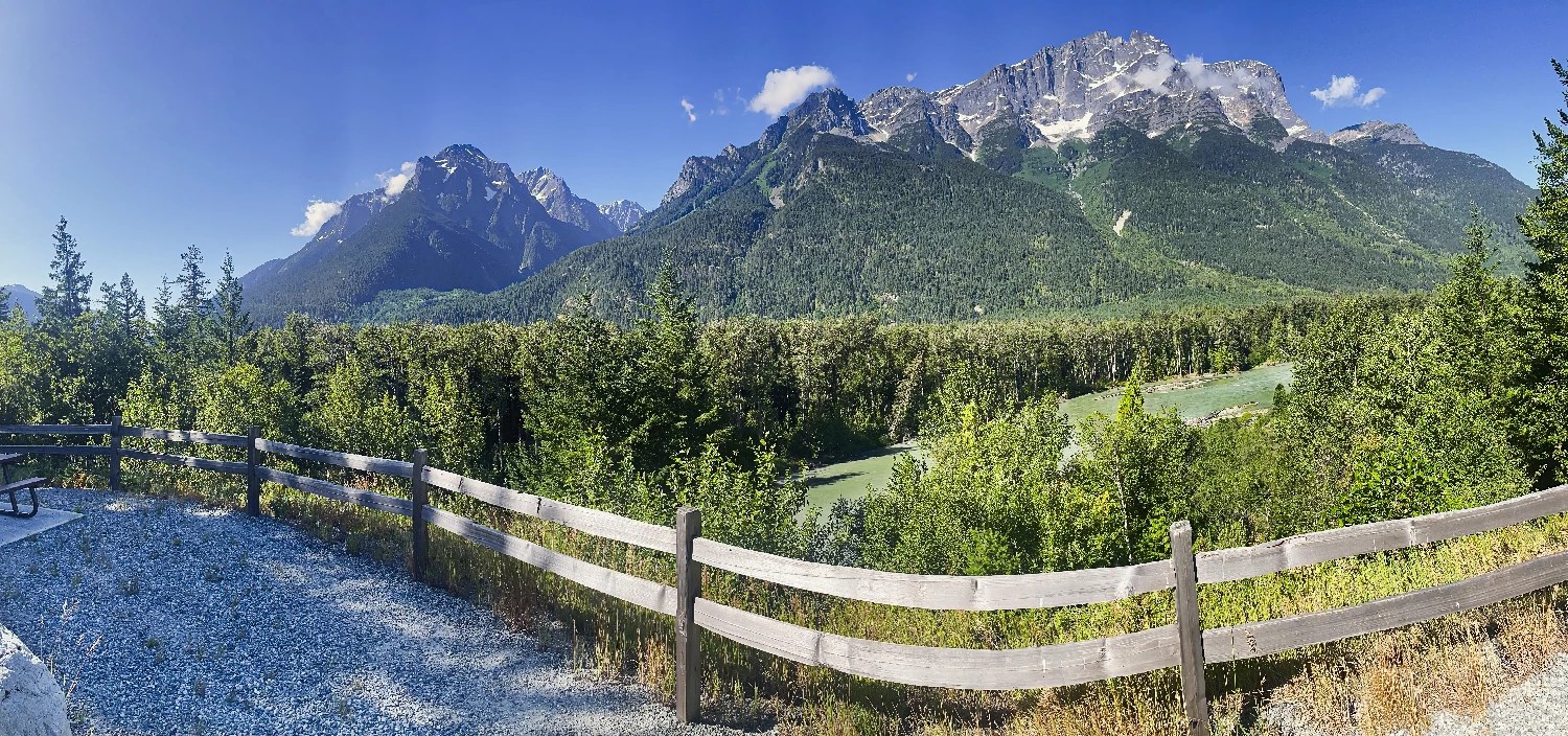
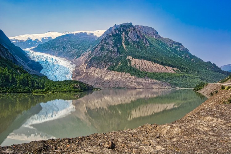
Bella Coola Valley
Williams Lake to Hagensborg 437 km, 5:15 hrs.
Hagensborg was settled in 1894 by 100 Norwegian colonists because it reminded them of the fjords of Norway.
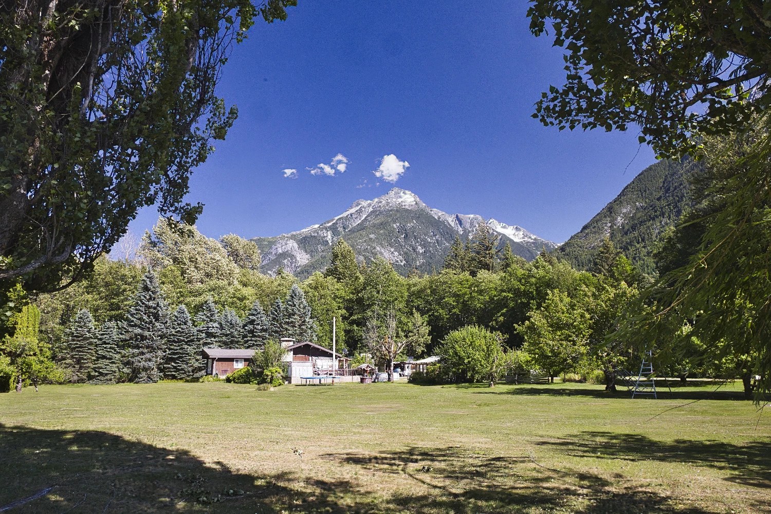
The colony was named “Hagen’s Borg” after the first storekeeper and postmaster, Hagen Christensen (“borg” is Norwegian for a fortress or castle).
Near Stranaghan Rd, the grassy area enables views north to the nearly vertical mountains.
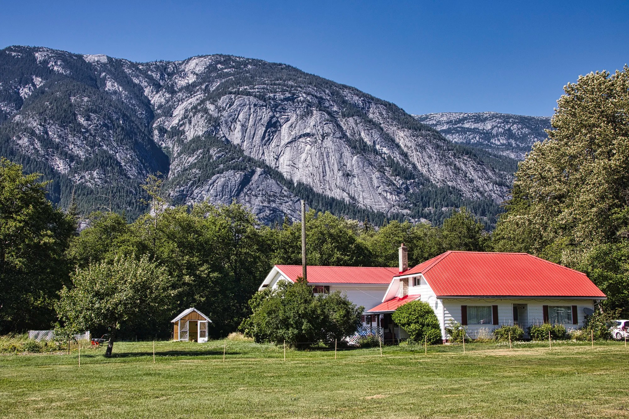
Eagle Lodge
Williams Lake to Eagle Lodge 445 km, 5:22 hrs.
This is the view from the rear of Eagle Lodge, one of the few hotels in this area. There are also several campgrounds.
Thorsen Creek
Williams Lake to Thorsen Creek 448 km, 5:24 hrs.
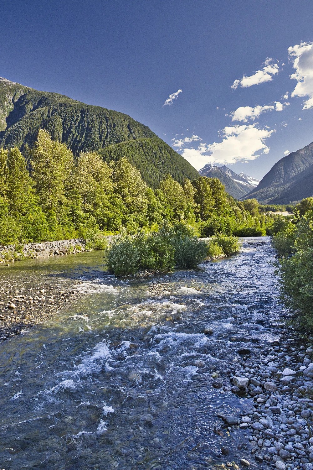
Stop near Thorsen Creek Bridge just past Thomsen Road. Thorsen Creek is a tributary of the Bella Coola River. The photo was taken on the left side of the bridge, looking south.
Thorsen Creek Conservancy protects one of the largest and most significant collections of petroglyphs on the coast and is of significant cultural heritage value to the Nuxalk First Nation.
Ferries and Fjords
Williams Lake to Bella Coola Ferry Terminal 456 km, 5:32 hrs.
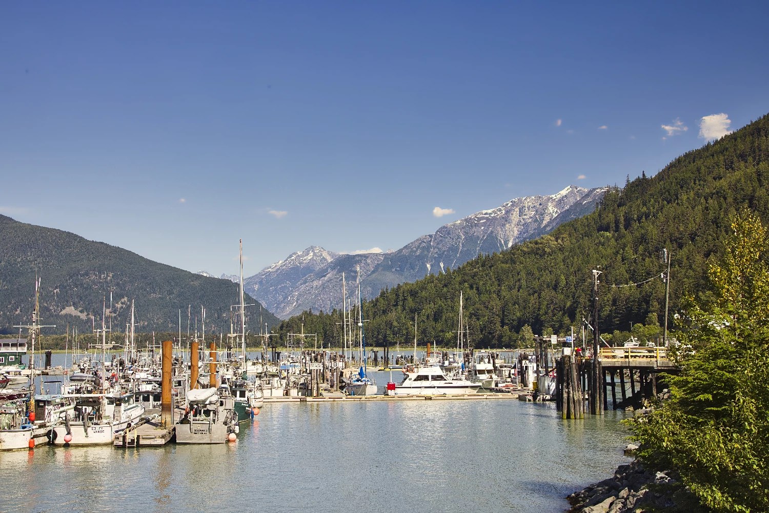
North Bentinck Arm is the territory of the Nuxalk Nation, whose main community adjoins the town of Bella Coola. The inlet is historically significant as the location where explorer Alexander MacKenzie reached the waters of the Pacific Ocean. A boulder in Sir Alexander Mackenzie Provincial Park is marked “Alexander MacKenzie, from Canada by land 22nd July 1793”.
From this terminal a ferry goes along the Inside Passage – a series of fjords – either south to Port Hardy on Vancouver Island or north to Prince Rupert.
North Bentinck Arm is a deep fjord which runs about 15 km (9.3 mi) in length and is about 2.3 km (1.4 mi) in width. The fjord has an underwater depth of between 200 and 400 m (660 and 1,310 ft). The height of these ice age glaciers is unknown but it is estimated that they were several kilometers thick! It is also the reason why the mountains walls are vertical.
Things to Do Next Time
We went to Bella Coola to see something different that we missed on previous trips. It was a major detour on our 8,072.1 km drive home across Canada. But we realized that we would not have any time to explore the area.

Here are some of the things you can do:
- Take a tour of Great Bear Rainforest to see lots of bears.
- Drive down country roads in the Bella Coola Valley Visitor Guide for more views.
- Hike 17 trails listed in Bella Coola Valley Trail Guide.
- Visit Bell Coola Indigenous arts and crafts: Copper Sun Gallery and Petroglyph Gallery.
- Drop into Hagensborg for Dragonfly Café & Gallery and Bella Coola Art Gallery.
- Sail along the Inside Passage to see the fjords and ice-capped coastal mountains.

The Kitimat Range is better known as the Coastal Range. This photo was taken near 4 Mile Subdivision Road on the Nuxalk First Nation – see Point 5422 on the BC Bella Coola Map.
Inside Passage
It is the Inside Passage that we recommend you take to return to Vancouver via Vancouver Island. Our son, who lives in Vancouver, did sail on the Inside Passage to Bella Coola. He highly recommends this trip.
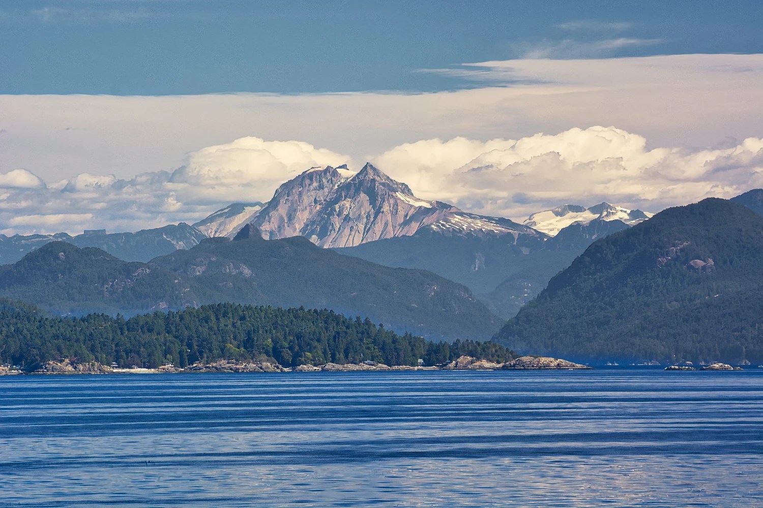
There are at least 71 fjords in BC. They are so wide and deep that bridges cannot be built across them. That is why there is no west coast highway. That is why BC Ferries operates the third-largest ferry service in the world, with 36 ships serving 47 ports. BC’s Pacific coastline stretches for 25,725 km (15,985 mi)! That is longer than flying from Vancouver to Bangkok and back!
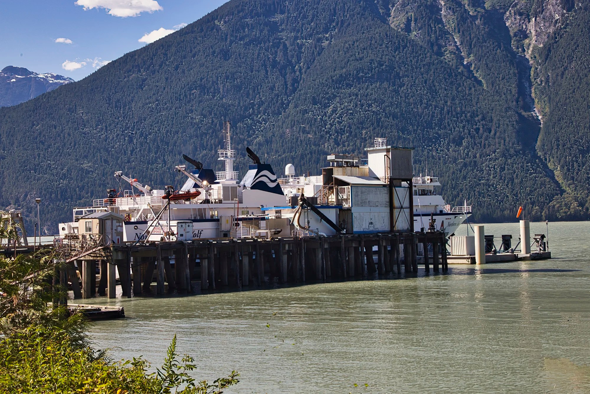
The Northern Sea Wolf provides regular ferry service between Port Hardy, Shearwater, Ocean Falls, and Bella Coola. The ferry operates from mid-June to mid-September. The journey takes approximately 10 hours.
| Sailing | Depart | Arrive | Fare |
|---|---|---|---|
| Port Hardy – Bella Coola | 07:30 | 17:30 | $561.40 |
| Bella Coola – Port Hardy | 07:30 | 17:30 | $561.40 |
| Port Hardy – Prince Rupert | 07:30 | 23:50 | $637.20 |
Port Hardy is located on the northern tip of Vancouver Island. The fares are in CAD for one passenger and one regular-sized vehicle.
Final Comments on this Itinerary
This is a quiet, relaxing itinerary where you can get away from the crowds of tourists who head to sites that are famous because of name recognition. We saw a total of two tourists at all of the viewpoints that we stopped at! It’s also a good location for hiking and boat cruises.
Subscribe
Get travel tips and advice delivered directly to your inbox. The best part is that it is free.
What things fascinate you? How long is your trip? What questions do you have?
Itinerary Map & Resources
Bella Coola Valley Visitor Guide and Bella Coola Trail Guide from bellacoola.ca are guide booklets we got at our hotel (or tourist info place).
Google Maps Ratings
Google Maps provides a rating from 0 to 5 for all sights, hotels and restaurants (but not cities). All of our recommendations are appended with the rating (prefixed with a G) from Google Maps. As it is based on feedback from tourists and locals, it is much more reliable than travel booking websites. We consider a score of 4 to 4.39 to be Very Good; 4.4 to 5 to be Excellent.
Other Places to Add to Your Itinerary
Here are nearby places you might want to explore:
Travel Tips

Food
Bring your own food such as canned tuna, cheese, bread, and other foods that cannot spoil in the heat. Use a plug-in cooler or an insulated picnic bag. Eating out cuts into your sightseeing time and quite frankly there are limited restaurant options along Highway 20.
Canada FAQ

The Exploring Canada post answers Frequently Asked Questions (FAQ) like:
- Where should I go in Canada?
- What is the best season for travel?
- What is the best clothing?
- Where should I go? What are the must-sees?
- How much time do I need for Canada?
- Can I see everything in a week?
- How safe is Canada?

Leave a comment